GPS Jurassic Coördinates (answers)
by Nando Musmarra and Diana Fattori

THE JURASSIC PERIOD
The Jurassic was named after the Jura Mountains from Switzerland and France. This geologic period is exposed in every continent; it lasted from 199.6 to 145.5 million years ago. It is divided in 3 epochs: Lias, Dogger and Malm; they are divided again in 11 stages, but just 10 of them were named after the geographic localities where the stratotypes were identified.
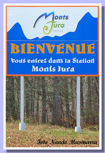
The Jura Alps welcoming sign
1) N 49° 24' 24", E 06° 09' 06"
The town of Hettange-Grande in France is the namesake of the Hettangian stage (Renevier, 1864), Lias. It lasted from 199.6 to 196.5 million years ago. Near the town there is the Geological Preserve where the Hettangian stratotype shows the local limestone with plenty of Gryphaea sp.
2) N 46° 15' 48", E 04° 05' 25"
Semur-en-Brionnais is the nice French village where in 1849 Alcide d'Orbigny named the Sinemourian (it spans the time between 196.5 and 189.6 million years ago). Built along the Loire river, Semur-en-Brionnais is very famous for its delicious wine
.

The spectacular Dalles a ammonites (Ammonites’ wall) in Digne, France composed by more than 1550 ammonites Coroniceras multicostatum from the Sinemourian
3) N 48° 39' 08", E 09° 35' 08"
Pliensbach is a modern town near Stuttgard, Germany, where Carl Abert Oppel named the Pliensbachian stage of Jurassic (from 189.6 to 183 million years ago). Fossils from the area are displayed in the museum of the nearby town of Göppingen. The Pliensbachian ended with the extinction event called the Toarcian turnover.
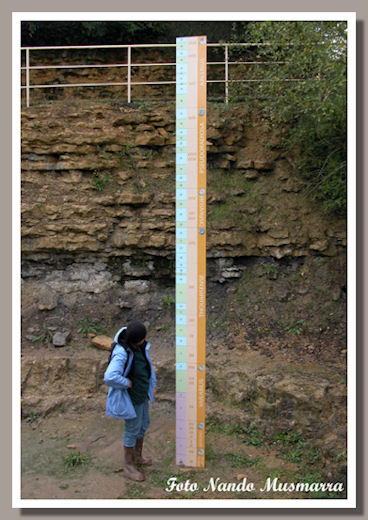
The Toarcian stratigraphy in the Thouars Geological Preserve.
4) N 46° 58' 54", W 00° 12' 55"
Thouars is the old town that names the Toarcian. A very interesting Museum of Natural History (mostly ammonites!) is located in the Thouars old castle. It is also possible to visit the Toarcian Geologic Preserve, a couple of old quarries where in 1849 d'Orbigny identified the Toarcian (from 183 to 175 million years ago).


5) N 48° 50' 10", E 10° 05' 24"
In 1864 Karl Mayer-Eymar named the Aalenian stage after the German town of Aalen. The whole area is very famous among fossil collectors for its beautiful ammonites. The Aalenian spans from 175.6 to 171.6 million years ago.
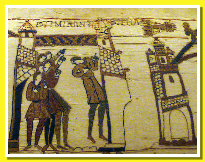
The 1066 appearance of Halley's comet - Bayeux Tapestry
6) N 49° 16' 35", W 00° 42' 16"
Bayeux, on the French coast of Normandy, named the Bajocian (d'Orbigny, 1849). The region, famous for D-Day during WW2, is now a popular travel destination. A must-see [second this!—ed.] is the unique Bayeux Tapestry. This 11th century masterpiece, 70 metres in length, like a modern comic strip in embroidery tells the story of the conquest of England by Duke William of Normandy. [It even features the 1066 appearance of Halley's comet, thought by both sides to be an omen.] The Bajocian stage spans the time from 171.6 to 167.7 mya.
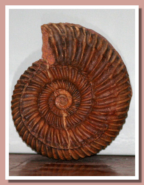
Parkinsonia parkinsoni, a common Bajocian ammonite
7) N 51° 22' 53", W 02° 21' 27"
Bath, the English town included in the Unesco Patrimony for its old natural spas carved in the limestone, named the Bathonian (d'Orbigny,1849) from 167.7 to 164.7 million years ago.
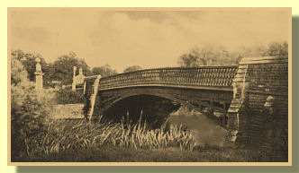
The old bridge on the Avon river that named the Callovian
8) N 51° 29' 35", W 02° 04' 02"
Kellaway Bridge. This locality that named the Callovian (d'Orbigny, 1848) is the more hard to identify spot, because the bridge is gone, so Kellaway Bridge doesn't exist any more. The Callovian goes from 164.7 to 161.2 million years ago.
9) N 51° 45' 08", W 01° 15' 21"
Oxford, world-famous for its University, named the Oxfordian (d'Orbigny, 1849), from 161.2 to 155.7 million years ago.
10) N 50° 37' 03", W 02° 07' 04"
Kimmeridge is the small village on the South coast of England that named the Kimmeridgian (d'Orbigny, 1849), from 155.7 to 150.8 million years ago. Its cliffs preserve a lot of nice fossils.

Tithonian from Sisteron, France
11) The last stage of Jurassic is the Tithonian (Oppel, 1863). This stage has no GPS coördinates because wasn't named after a geographic locality, but after a character of Greek mythology, Tithon, nephew of Priamus, king of Troy. The Tithonian goes from 150.8 to 145.5 million years ago.
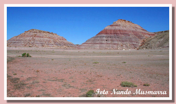
The Brushy Basin member of the Morrison formation, Tithonian, Utah, Usa
Nando Musmarra and Diana Fattori © 1999-2008
Go to PREVIOUS Page
This article was published on Fossil News Volume 14, Number 9 — September, 2008